Geospatial / GIS
Thousands of organisations in virtually every field are using GIS to make data maps that communicate, perform analysis, share information, and solve complex problems around the world. This is changing the way the world works.

Analysis of spatial data
GIS (Geographic Information Systems) analyst’s work involves data analysis, programming and cartography. Their primary duties include the analysis of spatial data through mapping software and generating digital maps with geographic data, photogrammetry and various other data sets.
Analysts need to:
- Identify problems
- Monitor change
- Predict and forecast
- Understand trends
Intensive GIS analysis can be stressful on the body and the eyes. Viewing stereo images demands that the operator to wear special glasses to help see the subject in 3D.
Geo-imaging monitors and displays
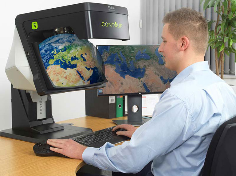
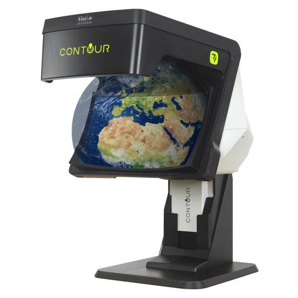
Modern display technologies allow interrogation of different data layers with zoom and scaling options by change the visual appearance in real time. Often these are presented on 2D monitors. More recently 3D views are possible on flat display monitors in arrays. At the forefront are displays such as CONTOUR that show a 3D stereoscopic view not restricted to flat screen.
Vision Engineering’s glasses-free CONTOUR display technology delivers a unique high quality combination of image clarity, brightness, consistency, ease of use and operator comfort.


